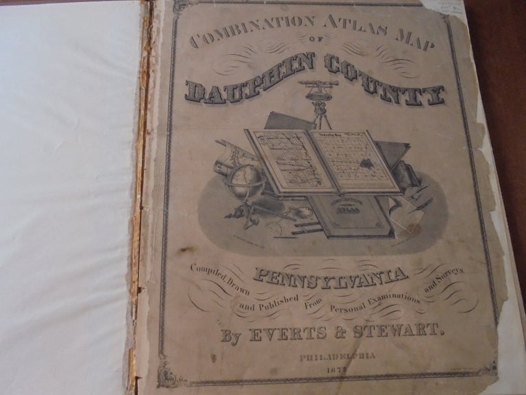
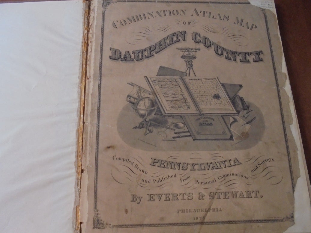
Combination Atlas Map of Dauphin County, Pennsylvania, Compiled, Drawn and Published from Personal Examinations and Surveys
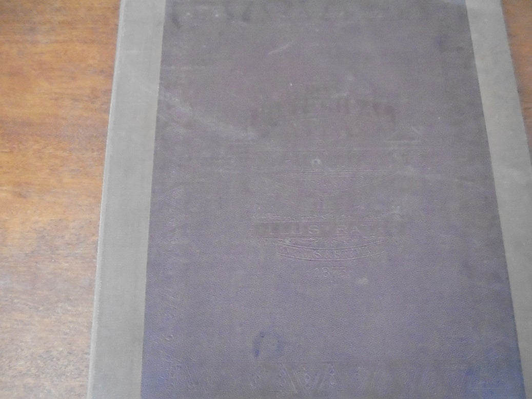
Philadelphia: Everts & Stewart, 1875. Original - not a reprint. Folio. Elephant folio (14.5 x 17.5 inches). Tan buckram rebinding with decorative maroon leather from original front cover laid on. xii + 50 pp. with 47 maps with at least some color (some with multiples on same page) and several lithographic views. Errata sheet tipped in. No dust jacket. Good. Free of extraneous marks but with some light soiling to a few pages. Title and contents pages detached but re-backed and laid in. Covers shelf-worn and somewhat soiled but solid. Overall a nice copy. Item #156158
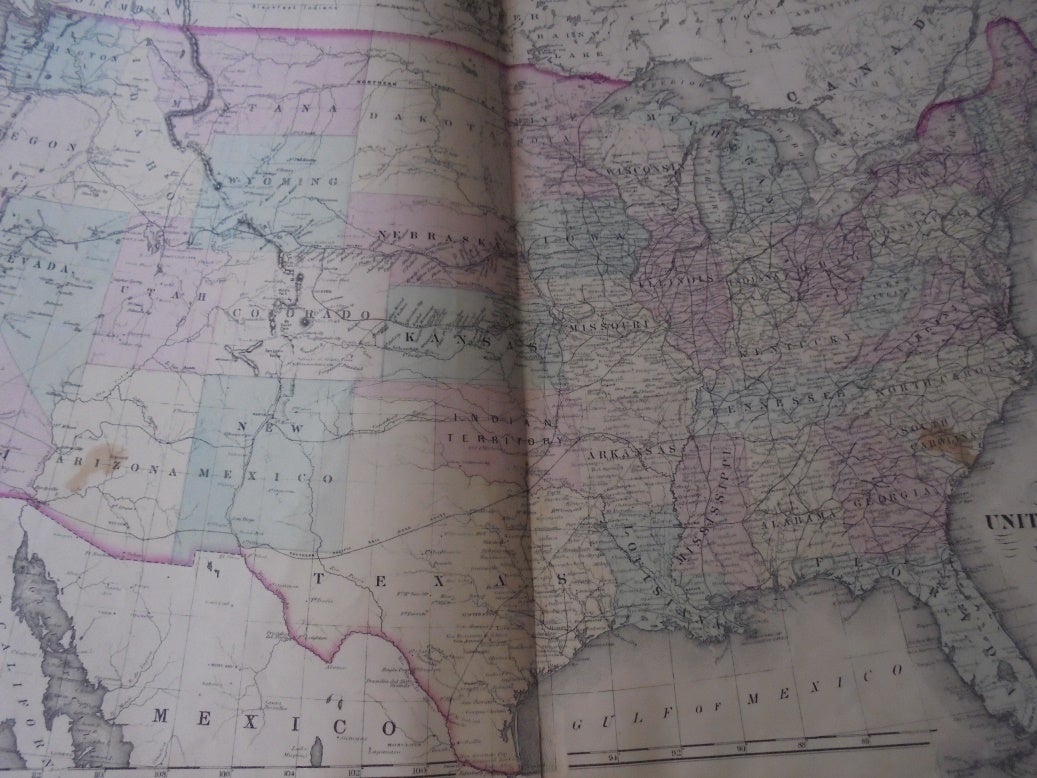
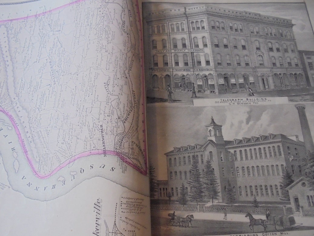
Lovely two-page maps of the US and the Commonwealth (state) of Pennsylvania at front - not listed in the contents but as published. Introductory section on all kinds of history regarding Harrisburg (the county seat and capital of Pennsylvania) and the rest of Dauphin County. Bw lithographs show numerous residences, businesses, industries, farms, and government buildings. Includes a list of names of County Officers and list of post offices.
Sorry, this book is not available.
Notify me when this comes back in stock.