

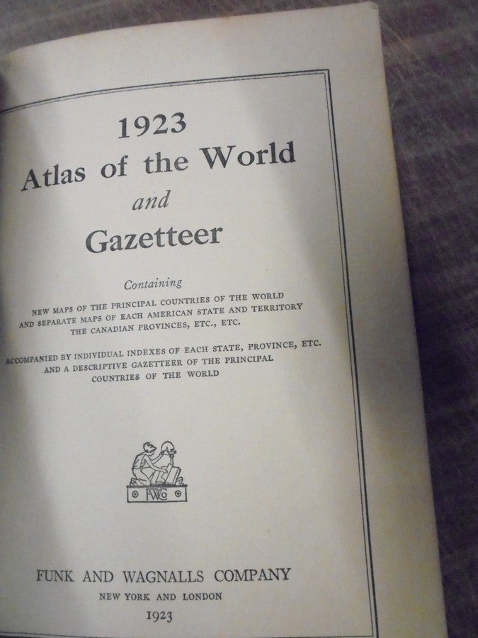
1923 Atlas of the World and Gazetteer : containing new maps of the principal countries of the world and separate maps of each American state and territory, the Canadian provinces, etc., etc. : accompanied by individual indexes of each state, province, etc. and a descriptive gazetteer of the principal countries of the world
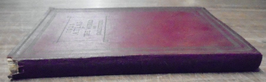
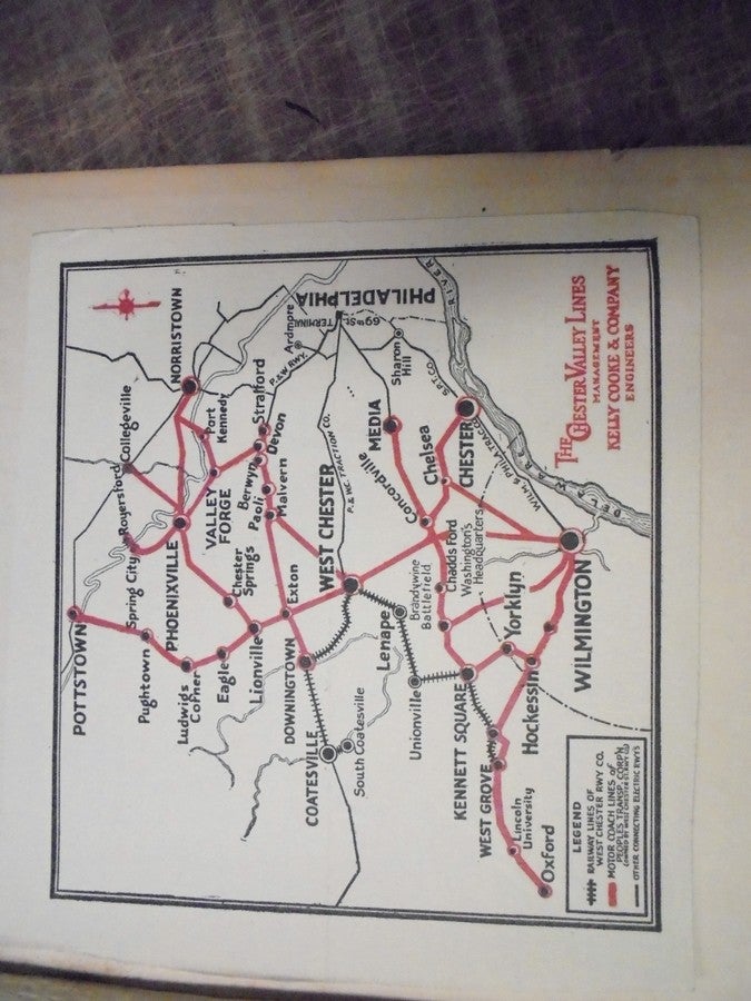
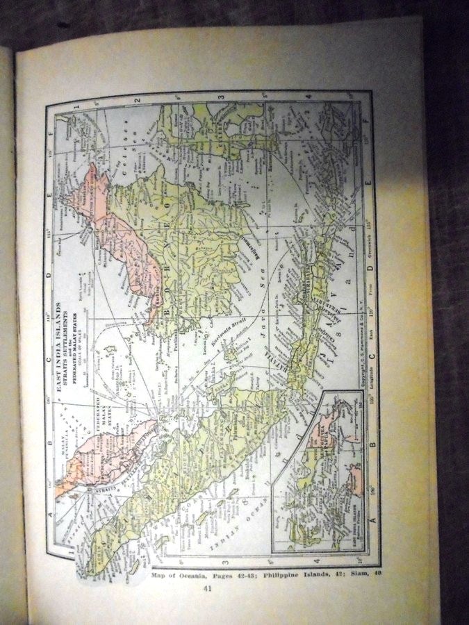
New York: Funk and Wagnalls company, 1923. Softcover. Maroon leatherette flexible covers with gilt lettering. 176 pp. with full complement of color maps and 2 bw polar-view maps. Red/black map of Chester Valley Lines (Chester County, Pennsylvania) laid in. VG- clean and tight contents but with age toning to page margins and small piece of spine head missing. Item #157494
The political world as of 1923 with a statistical gazetteer, indices, etc.
OCLC: 54517193
Sorry, this book is not available.
Notify me when this comes back in stock.
See all items in
Maps and Atlases