The Middle Kingdom
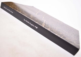
London: Daniel Crouch Rare Books, 2019. Paperback. Black and tan illustrated wraps with white spine lettering. 234 pp. Color and BW illustrations. Photography by Louie Fasciolo. Includes bibliographical references. More
London: Daniel Crouch Rare Books, 2019. Paperback. Black and tan illustrated wraps with white spine lettering. 234 pp. Color and BW illustrations. Photography by Louie Fasciolo. Includes bibliographical references. More
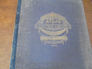
1883. Hardbound. Full brown library cloth with gilt lettering. With 31 lithographed maps, sections & profiles, most in color, 12 double-page. 20 1/4x16 1/4, folio sized. Vibrant colors on the colored maps. Some very old conservation has been done to the edges of the title page with tissue paper. More
Philadelphia: Everts & Stewart, 1875. Original - not a reprint. Folio. Elephant folio (14.5 x 17.5 inches). Decorative maroon cloth/boards; quarter black leather. xii + 50 pp. with 47 maps with at least some color (some with multiples on same page) and several lithographic views. Errata sheet tipped in. No..... More

Not Identified: [Edward Luther Stevenson], [1914]. This is the only copy ever produced, created for personal use by Edward Luther Stevenson. Hardcover. Red cloth over boards with gilt lettering on the spine; 430 pp., interspersed with many unnumbered blank sheets for notes. THIS UNIQUE MANUSCRIPT AND TRANSLATION OMITS CHAPTERS I-III..... More
Washington, D.C. National Geographic Society, 1990. Sixth Edition. Hardcover. Oversized blue boards with gilt lettering and illustration; illustrated map endpapers; red cloth bookmark tipped in; 136 pp.; richly illustrated. This book has colorful map-illustrated endpapers. Very nice volume from National Geographic! More
Washington, D.C. Government Printing Office, 1878. Hardcover. Dark brown boards with gilt lettering on the spine; 546 pp.; richly illustrated; folded maps. More
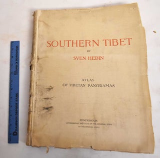
Stockholm, Sweden: Lithographic Institute of the General Staff of the Swedish Army, 1916-1922. Softcover. Nine volumes bound in tan wraps with red and black lettering. Oversized Maps I and Maps II and Atlas of Tibetan Panoramas are bound in tan wraps with red and black lettering. Uncut and untrimmed pages..... More
Providence, R.I. Not Identified, 1948. Facsimile Made from the Original in the John Carter Brown Library, Providence, Rhode Island, 1948. Folio. Large (17.5"x20") light blue envelope with black lettering; two 17.5"x20" blank white stiff support cards; 4 17.5"x20" illustrated plates. This is map is in excellent condition. More
Philadelphia: Eldredge & Brother, 1886. Hardcover. Seven-eighths brown boards with black leather spine; gilt letters on front cover; 160 pp., BW illus. Title on cover: Houston's Physical Geography. An early edition (but not the first) of this geography book for students penned by Edwin J. Houston, graduate and professor of..... More
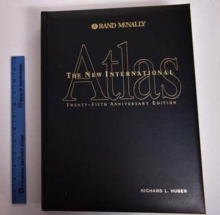
Chicago: Rand McNally and Company, 1994. Hardcover. Large, black faux leather covers with gilt lettering. All-around gilt page edging. xv; 24+ 320 +199 pp. Filled with color maps. A large, heavy volume of world maps. A beautiful edition. More
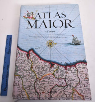
Koln: Taschen, 2010. Hardcover. Printed image paper covered boards, similarly7 printed dustjacket. 593 pp., profusely illustrated with vivid color reproductions of original maps and illustrations, a few folding. Measures 45 x 30 x 6.5 cm. shipping weight is 16 pounds. Texts and translations presented in English, German and French. Three..... More
Philadelphia: Lea and Blanchard, 1850. Hardcover. Navy blue buckram, gilt letters on spine, 122 text pp., 24 colored map plates., plus double-page colored map as frontispiece. A terrific copy of Johnston's early physical atlas, although in rebound form. This copy once belonged to American journalist and Egyptologist Charles Edwin Wilbour..... More

Hamburg: Kommissions Verlag L. Friedrichsen & Co., 1926. Hardcover. Oversized tan paper over boards portfolio with gray cloth spine; black lettering; black ribbon tie closure; 27 bw plates of maps and plans, some very large and folded. Text is in German. Maps of Spanish cities and towns including: Madrid, Barcelona..... More
[Charleston, S.C.]: [Publisher not Identified], 1937. Paperback. Blue wraps with dark blue design and lettering; viii, 67 pp. Published on the occasion of an exhibit at the Carolina Art Association at the Gibbes Art Gallery in Charleston, South Carolina, March 10-April 11, 1937. More
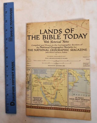
Washington DC: National Geographic Society, 1956. Pamphlet. Color fold-out map. Scale: 1:2.851.200; Conic proj.; Standard parallels 28o. and 40o. Compiled and drawn in the Cartographic Section of the National Geographic Society for the National Geographic Magazine; John Oliver LaGorce, editor; James M. Darley, chief cartographer; resarch by W. Chamberlin, R.J...... More
Braunschweig: Verlag von Friedrich Vieweg & Sohn und George Westermann, 1854. Hardbound. Printed and embossed cloth covers. 1 atlas ([2] folded leaves, [29] folded leaves of plates) : 29 col. maps ; 29 cm. Although there are gaps in the plate numbering (1-44), this atlas is complete and contains all..... More
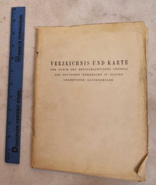
not dated: [Erscheinungsort nicht ermittelbar], 1945. Softcover. Off-white wraps with black lettering; 20 pp text, rear pocket holds a folded black, white and red map. Text is in German List and map of the monuments protected by the Plenipotentiary General of the German Wehrmacht in Italy. More
Paris: Berger-Levrault, 1885. 4th edition. Hardcover. All titles have leather spine and corner tabs, marbled boards; 5-band ridged spine. Vol 1: 448 pp,; Vol 2: 384pp. Text in French. Contents: Tomo 1: Generalities on geography and Europe. France: Land borders.- Tomo 2: France: Maritime borders, Central Plateau, Military Statistics. Algeria..... More
Paris: Berger-Levrault, 1884. 3rd edition. Hardcover. All titles have leather spine and corner tabs, marbled boards; 5-band ridged spine. Vol 1.2: 317 pp, Vol. 2.2: 347 pp, Vol 2.3: 303 pp. Text in French. Contents: Tomo 1: Small states of central Europe. Germany.- Tomo 2: Austria-Hungary. Italy.- Tomo 3: Balkan..... More
Landing, N.J. Walker Engraving Co., 1912. Ephemera. 1 map : color. Prepared by Hudson Maxim for the Morris Canal Investigation Commission, November 16, 1912 ; compiled from various maps and actual surveys by P.E. Boomer. Map is in good condition. Colors are bright. Green indicates water and houses are red..... More
University of the State of New York, 1901. Hardbound. Original plain cloth covered boards. Title page, 12 large (21.5" x 26") colored map plates. Apparently quite rare. No sales history found on this volume, holdings are limited to Library of Congress and Freiberg University library in Germany (according to Worldcat)..... More
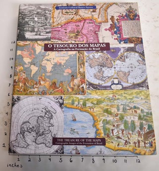
Sao Paulo: Instituto Cultural Banco Real, 2002. Hardcover. Color-illustrated boards with white lettering on burgundy background, and matching dust jacket. 339 pp. Color and BW illustrations and maps. Oversized at 10 pounds, and will require extra shipping. Text in Portuguese and English. More
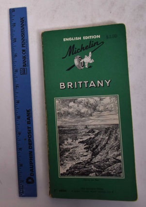
London: The Dickens Press Ltd., 1963. Paperback. Skinny green wraps with BW illustration and lettering. 195 pp. Many BW/red maps and illustrations. English Edition. Comprises of "introductory pages on Brittany that will give the tourist background"; "five touring programmes which will enable the visitor to see...the finest buildings..."; and "information..... More
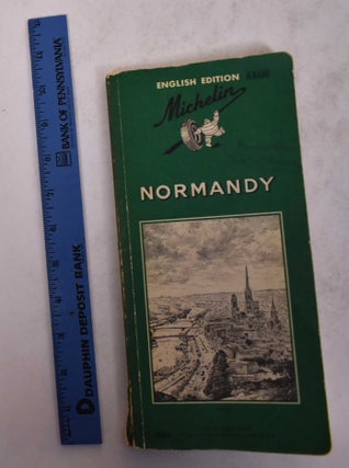
London: The Dickens Press Ltd., 1965. 2nd Edition. Paperback. Skinny green wraps, BW illustration and lettering. 194 pp. Many BW/red maps and illustrations. English Edition. Comprises of "introductory pages on Normandy that will give the tourist background"; "five touring programmes which will enable the visitor to see...the finest buildings..."; and..... More
Philadelphia: J.H. Butler & Co., 1874. Hardcover. Illustrated board covers. 2 unnumbered pages, 40 pages of plates, 24 pages : color maps (part double). A series of forty-four copperplate maps, compiled from the great atlases of Keith Johnston, Kiepert, the Geographical Institute of Weimar, from the United States Coast Survey..... More